eXtract
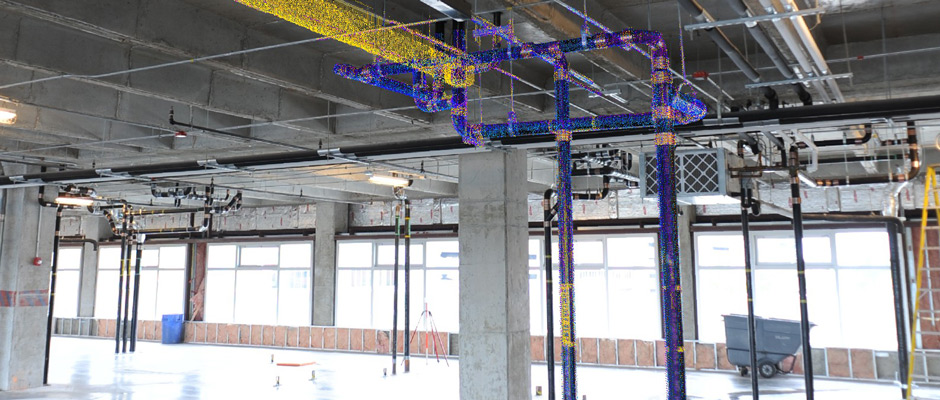
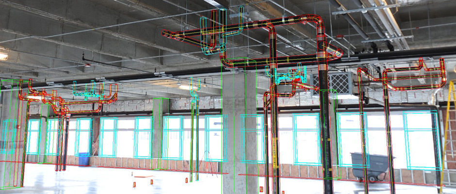
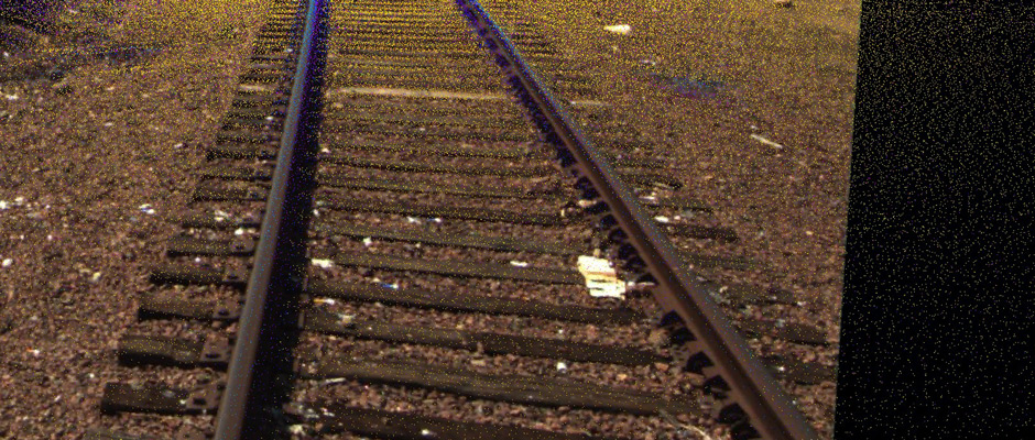
TopoDOT offers hundreds of productive processing tools for identifying, extracting and modeling features from LiDAR data. Each tool is designed to optimize the fidelity of the extracted model while minimizing the requirements on the necessary LiDAR data density, resolution and coverage. TopoDOT's exploits the synergy between calibrated images and point clouds making identification of features easier and extraction more accurate. TopoDOT's unique tools integrate quality assurance and feature extraction simultaneously yielding highly accurate 3D models and topographies. TopoDOT tools are easy to learn and well documented typically requiring only a few hours of training for productive use.
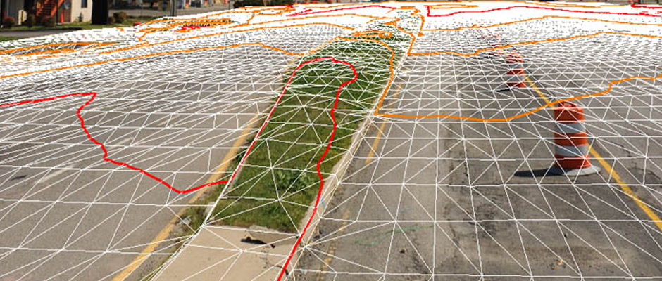
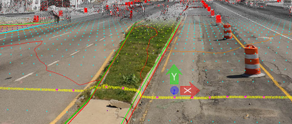
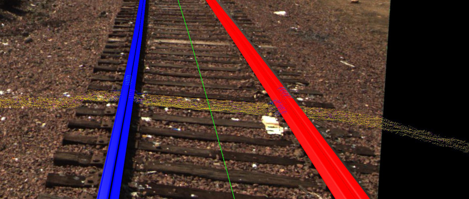
TopoDOT tools are designed to "simplify" the 3D LiDAR data environment by presenting the 3D data to the user in 2D. TopoDOT's "Breakline Extraction Tool" is a perfect example of how TopoDOT exploits this method. The user extracts in a 2D view, while simultaneously being presented with the data in the top view, asymmetric view and the calibrated image perspective view.
Whenever practically 100% reliability is possible, TopoDOT will automate feature extraction to the greatest extent possible. TopoDOT's road extraction tool is a perfect example of such automation. Road surfaces are accurately extracted automatically from the "original" LiDAR data. There is no need for expensive data filtering or "cleaning" to remove extraneous data resulting from passing cars, people, etc.
TopoDOT's "Cell Placement" tool provides the user with efficient tools to identify, locate and quickly place cells on features located within the scene while simultaneously storing metadata information. The "Elevation Grid" tool automatically extracts bare earth models from complex scenes. The resulting elevation points and breaklines often serve as inputs to DTM engines located in MicroStation™ itself or are easily exported to other CAD environments and associated DTM engines such as AutoCAD Civil3D™.
These are just a few examples of TopoDOT's hundreds of tools applicable not only in topography extraction, but across civil infrastructure, architecture, plant, engineering and construction operations. Click Here for a list of features that TopoDOT has to offer.